
Map
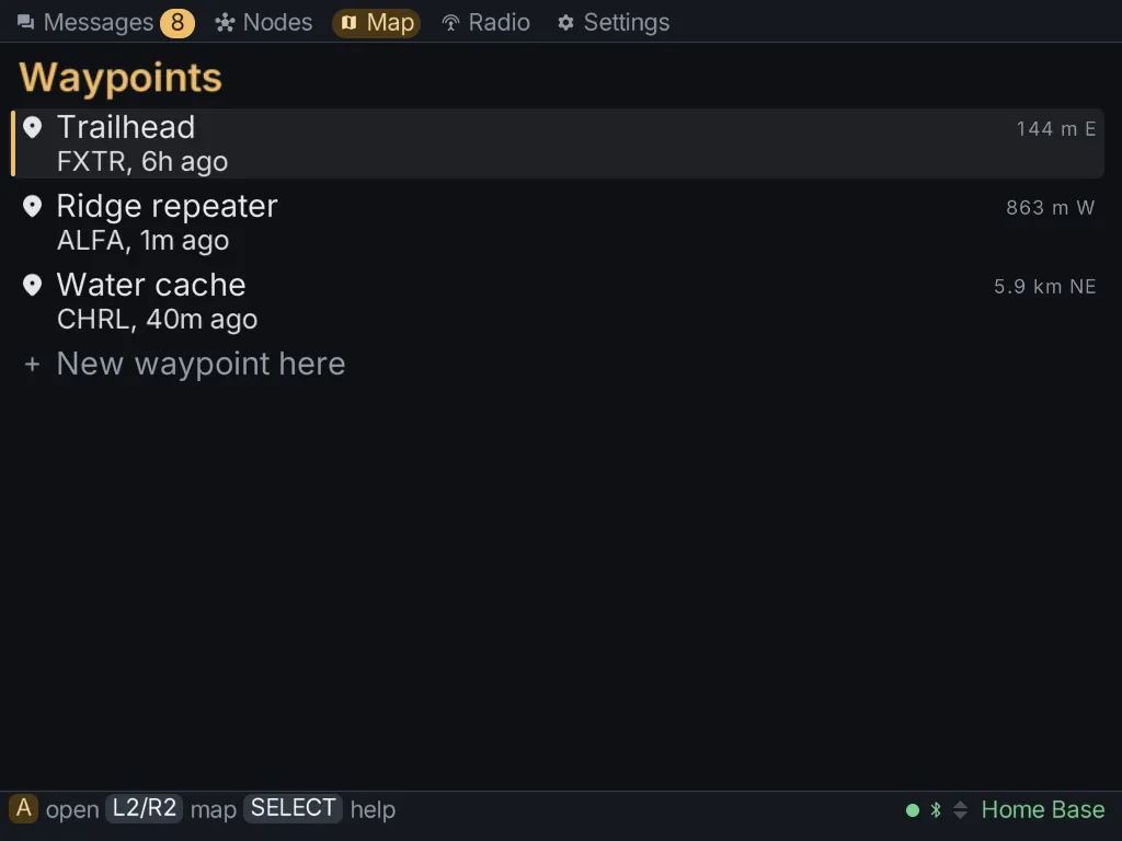
The Map tab shows every node and shared place that has reported a position. It has two views: the map, and a list of places. R2 turns to the places and L2 turns back.
Moving around the map
Section titled “Moving around the map”| Button | What it does |
|---|---|
| d-pad | pan; a direction stops on the next marker that way |
| Y / X | zoom out / in |
| START | fit everything on screen |
| A | open whatever is nearest the crosshair in the middle |
To pick a marker, pan until it sits under the crosshair. A node opens its details. A place opens in the list of places.
Places (waypoints)
Section titled “Places (waypoints)”A place is a waypoint someone shared on the mesh, such as a meeting point, a camp or a car park. The list shows each one’s distance and bearing from you, which needs your radio to have a position of its own.
- New waypoint here, at the top of the list, marks your radio’s current position as a new place and shares it.
- Open a place to see who shared it, when, and when it expires.
- Share it again sends it out once more.
- Delete from the mesh removes the place for everyone. Press A twice.
- Forget it here removes it from this client only.
From a node’s details, Save this place turns that node’s position into a place.
Map tiles
Section titled “Map tiles”Without map tiles, the map draws markers over a grid with a scale bar. To see streets and terrain underneath, download tiles from Settings → Maps:
- Connect the Brick to Wi-Fi.
- Open Settings → Maps and choose See the maps to download.
- Pick the world map, a region, or both. The world map sits under every region, so you can keep a detailed region and a lighter world map together.
Downloads go in pieces and resume where they left off. You can delete a map from the same screen.
Maps are kept in ~/.meshclient/maps/, outside the pak, so an update never removes them.